Spacewhales
-
Main problem:
Only 8.1% of the ocean is protected and over 80% are still unexplored. -
Subproblem:
Reliable monitoring that can be scaled over the oceans and repeated over years. -
Consequence:
Development of solutions -
Solution:
Monitoring whales from space using satellite imagery.
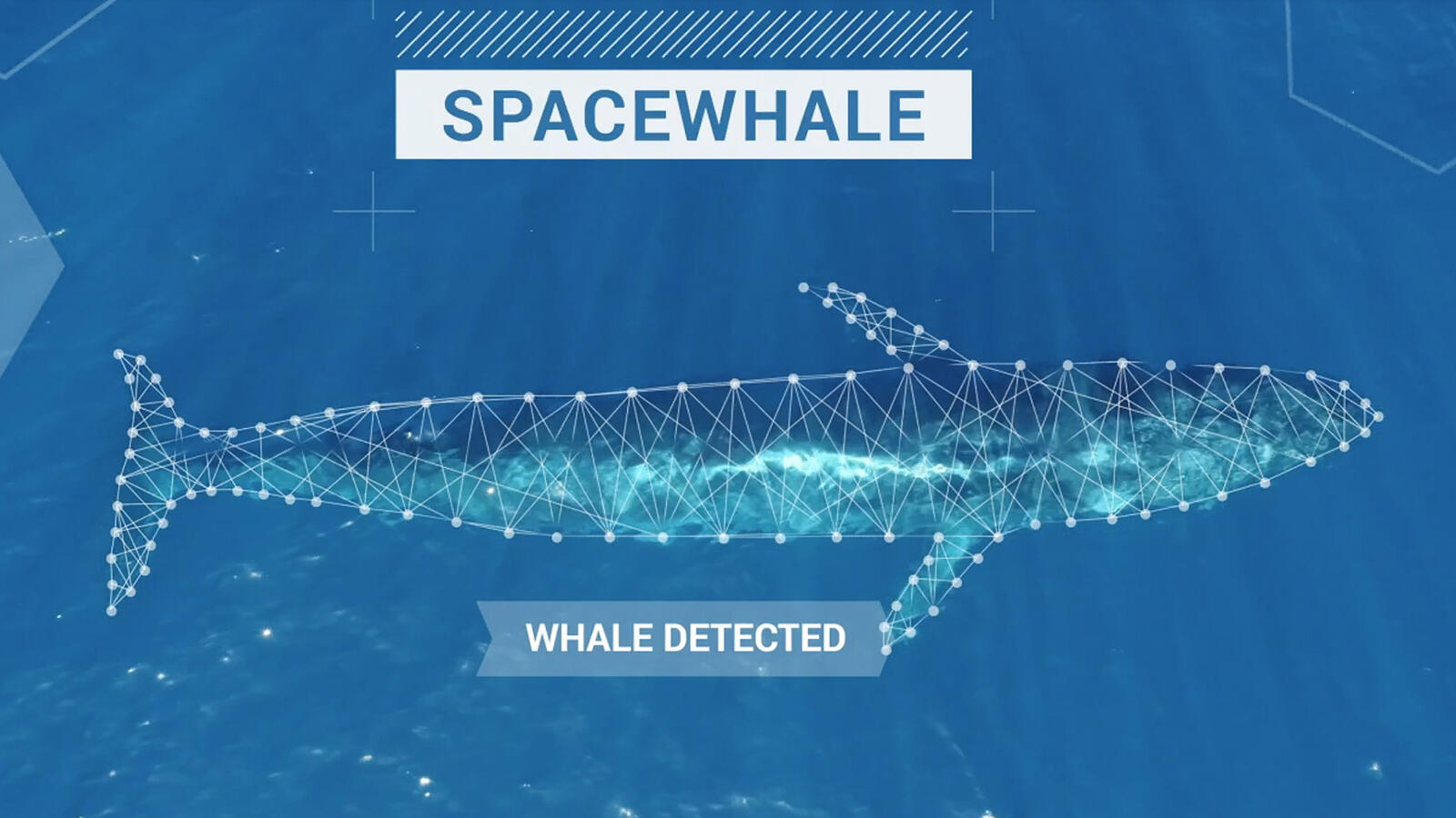
SPACEWHALE - Utilizing very high-resolution satellite imagery to survey large whales from space
By counting whales from space using satellite imagery and AI, we can study previously unexplored areas and accelerate the designation of Important Marine Mammal Areas (IMMAs) and Marine Protected Areas (MPAs) - key tools in helping tackle the global climate and biodiversity crises and supporting coastal communities.
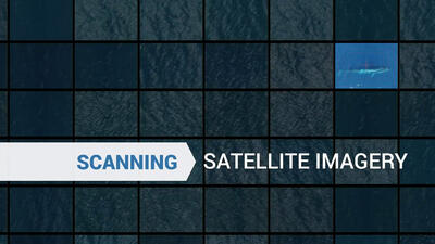
With the help of high-resolution satellite images, large cetacean species can be surveyed over a wide area in a 100% coverage of the sea area. This method is new and allows to study remote and unexplored marine areas quickly (especially in the high seas). Very high-resolution (VHR) satellite imagery has been available since 2014, allowing data to be collected in areas that are difficult to access using traditional survey methods like boats or planes.
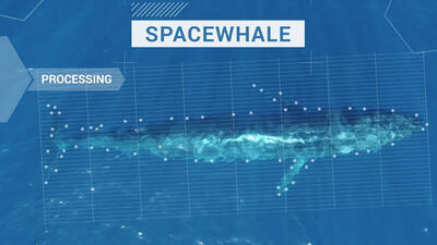
Therefore, BioConsult SH and HiDef Aerial Surveying Ltd. have developed the SPACEWHALE service. Since earth observation companies rarely collect oceanic satellite images due to storage capacity and low demand, there are few or no archival VHR images with cetaceans. We therefore trained our algorithm with digital aerial images of minke whales obtained from monthly monitoring flights of offshore wind farms undertaken by BioConsult SH. Minke whales have a body length of 7 to 10 metres, which corresponds to about 33 pixels in VHR satellite imagery to depict a whale in its full length. The algorithm trained in this way can also recognise other whale species with a body length of about 9 to 30 metres.
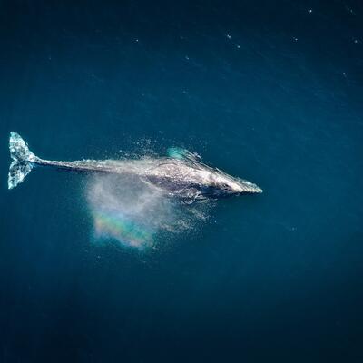
We use a semi-automated approach for analysing satellite images that combines state-of-the-art artificial intelligence with manual verification by marine mammal experts, i.e. in a first step, the algorithm marks objects in the satellite imagery. As the whale cannot always be seen in its full appearance from a bird's eye view and the body posture can vary (i.e. mostly, only parts of the whale can be seen such as only the head of the whale with a blow or a fluke), our experts check in a second step whether the annotated object is a whale and what species it is.
This allows us to answer key questions about how many whales, which species and age (adult or juvenile) and when they occur in these areas.
SPACEWHALE can fill knowledge gaps in unexplored areas and provide necessary data for the implementation of effective conservation measures.
Photo Credits by: @spacewhales
https://www.spacewhales.de/
